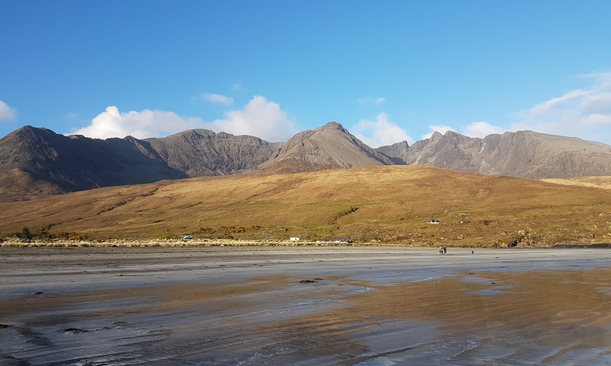
We have created a map showing the location of dropped kerbs, bench seating and rubbish bins in the centre of Portree village. This has been undertaken as part of Skye and Lochalsh Council for Voluntary Organisation‘s Active Journeys Skye and Lochalsh Project. The is a great project for the area with funding from Paths For All and Think Health Think Nature. We aim to promote the health benefits of walking for daily journeys and highlight accessibility of the village.
The map can be downloaded and printed from a pdf here. Sarah has also written a description of how she travels around the Portree on her mobility scooter which highlights where the dropped kerbs are in order to access various premises.
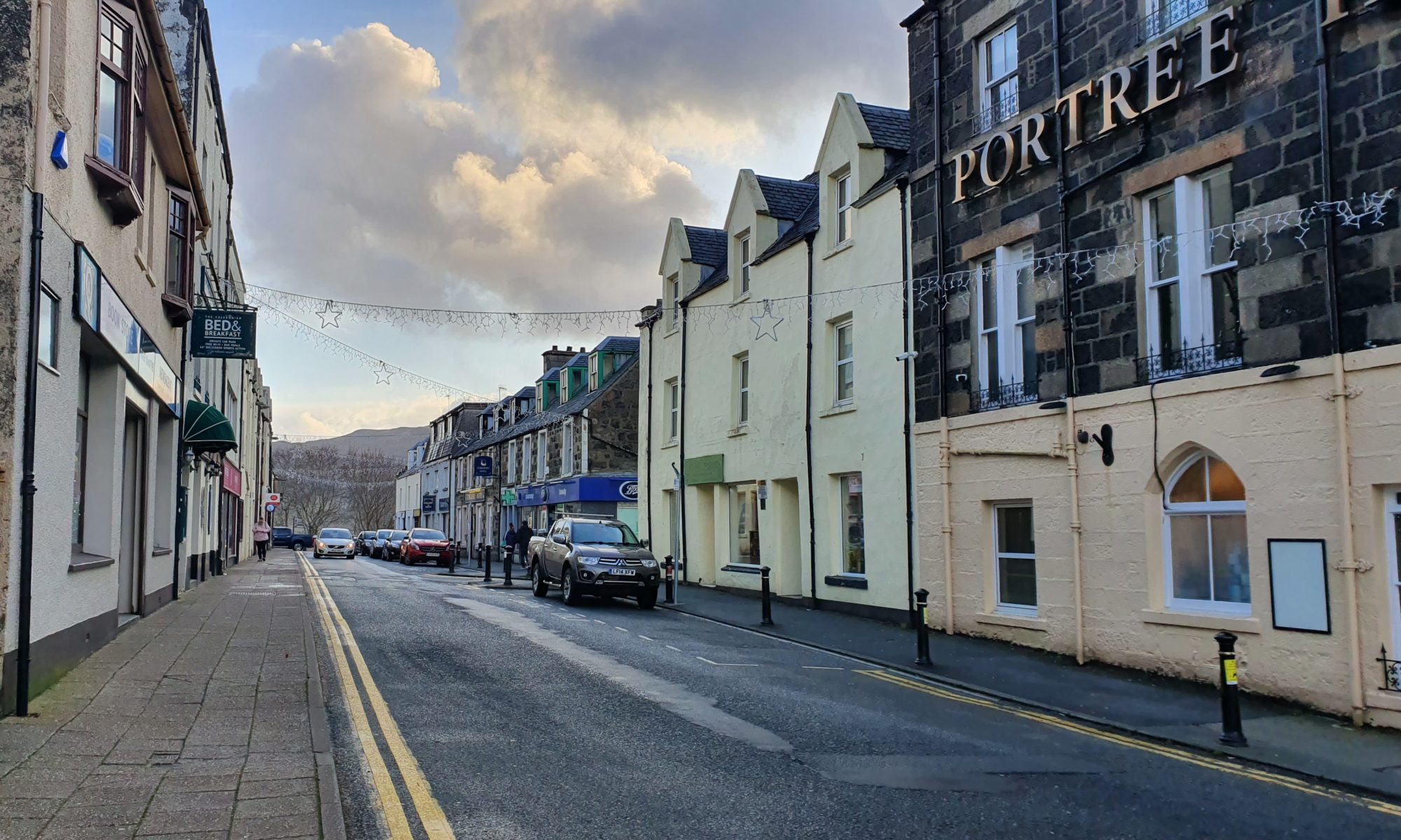
Somerled Square
The most central parking in Portree is the car park in Somerled Square where there are a couple of disabled spaces. Near these spaces is a dropped kerb which enables you to cross the road. Now you can access the Clydesdale Bank, Bank of Scotland, The Granary & Bakery. Around the corner where the Bank of Scotland sits there is another dropped kerb allowing you to cross to The Isles Inn. If you were to continue up the side of the bank you get to Tigh na Sgire. These are the council offices where there is a disabled toilet. There is also more parking up here at the Community Centre. Take care around here though as the road passes the bus garage.
At the other end of Somerled Square is a pedestrianised area where there are many benches. This is a nice place to sit and watch the world go by. There is a path marked on the car park from the disabled spaces to the bus bays at the back of the car park. The bus shelter can be accessed by a dropped kerb and has a bench. The bus bays only have dropped kerbs at this end.
If you arrive by bus or wish to leave your car here there is a taxi rank currently by the Isles. There are also three disabled parking spaces here. There is a dropped kerb at the beginning of Wentworth Street next to the entrance to the Portree Hotel.
Wentworth Street
Heading down Wentworth Street on the Portree Hotel side there are dropped kerbs where you need to cross Bayfield Road. After this the kerb is lower most of the way down, however there is parking allowed here so crossing may be difficult. There are two disabled spaces here, outside the chemist. The other side has a normal height kerb with dropped kerbs spaced along it. There is no pedestrian crossing. Wentworth Street is a one way street so traffic will approach from the right heading this way.
Cross over and continue left around the corner onto Bank Street there are other shops including a smaller Co-op store. There is a bigger store outside the village on the Dunvegan Road but if you need a convenience store within walking distance this is the one for you. Many of the local buses pass the larger Co-op, just check with the driver before boarding the bus.
Directly opposite the end of Wentworth Street is the road down to the harbour. There are many hotels, restaurants and some shops down here. Do be aware this road is very steep and dropped kerbs are not always convenient. Only tackle it if you feel confident in your ability.
If you turn right at the end of Wentworth Street the road eventually takes you to The Royal Hotel, where you will find the Well Plaid restaurant. There is a dropped kerb right on this corner but you do not get a good view of oncoming traffic. Head further away from Well Plaid and there is another pair of dropped kerbs opposite the car park. It is safer to cross here.
Medical Surgery and Hospital.
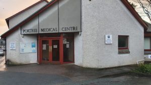
Now you have crossed over you can access the Bank Of Scotland. Here there is one disabled parking space by the front door. If you head up Fancy Hill you will arrive at the Medical Centre and eventually the hospital. This is also the way to The Lump. Fancy Hill is a steeper road and the pavements are not good with a lack of dropped kerbs. You may find it easier to use the road but then look out for traffic. Head back down Fancy Hill and access the Tourist Information Office by following the pavement around the far edge of the car park.
The Green
From the Tourist Information Office to The Green, the next dropped kerb to cross Bayfield Road is about 20 metres downhill away from the road junction. It is a little steep here so take care. Once you have crossed over the side road carry on to The Green where there are two small parades of shops, a hostel, launderette and more. There is a pedestrian crossing on The Green and once you have crossed over you are in front of the public toilets which includes a Disabled Toilet accessed by a RADAR key . Heading back up this side of the road it is mostly offices. The Citizens Advice Bureau has a ramp outside but it is a double ended ramp so it should not be a problem.
Continuing around the corner after the Citizens Advice Bureau you return to Somerled Square. If however you stayed on the other side of The Green and went away from the village centre you would get to Lisigarry Court. This side road takes you down to Bayfield, where there is further parking, a picnic area, and recycling centre. Unfortunately the footpath to the car park entrance is quite long but alternative access to the car park is currently by steps and these steps are rather narrow. Bayfield is however currently undergoing extensive development so we will update when this has been completed.