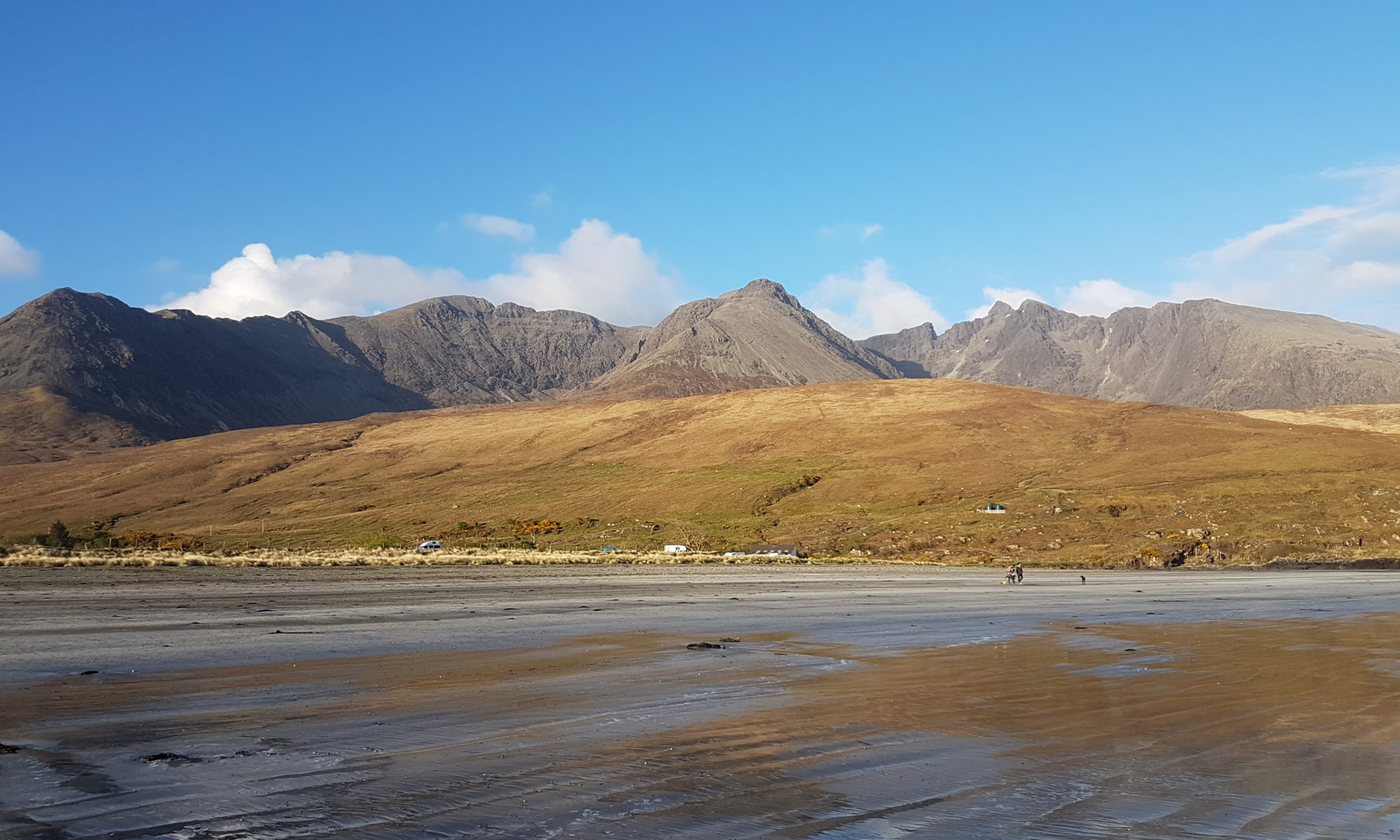
The good summer weather has bypassed Skye in recent weeks so our walk was taken under leaden skies and occasional sunshine. We found a lovely farm track which crosses open land and forest between Skeabost Cemetery and the Struan road and which proved to be very accessible in so many ways. Here is how we coped on the Skeabost Cemetery Track.
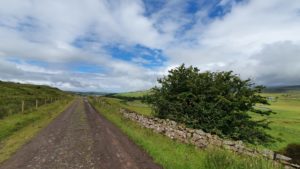
How to find the Skeabost Cemetery Track
From Portree take the A87 towards Uig, and after approximately 4 miles turn left on the A850 Dunvegan road. If heading from Uig you would turn right onto this road. In 1.5 miles on the left there is a turning for Cemetery (Cladh), it is just as you pass the entrance for Skeabost House Hotel on the right.
From Dunvegan take the A850 towards Portree for approximately 15.5 miles. The turning to the Cemetery (Cladh) is on the right, after you will have seen a sign for the Skeabost House Hotel on the left hand side. Follow this narrow single track road for a short distance until you come to a car park. This is the cemetery car park so please park considerately in case a service is to take place. The track and your walk starts up the hill ahead of you.
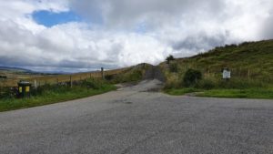
Skeabost Cemetery Track
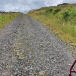
This track cuts through grazing land so if you have dogs with you please keep them on a lead at all times. The track is a well compacted farm track with a little loose material but not much. The initial part of the track is a gentle, uphill stretch but then it levels out for the rest of the way. With this in mind we think it will suit wheelchairs users, pushchairs, trikes and the like. Sarah had very little problems with either the surface or the terrain when using her rollator.
When we were walking there was a little bit of agricultural construction work happening. No vehicles moved on the track during our walk but it is something to be mindful of. Once you have walked up the initial hill the views are wonderful. Up ahead in the distance you see Ben Tianavaig rising out of Loch Portree. To your left the River Snizort winds it’s way carefully to Loch Snizort, keep your eyes peeled for a Ghille fly fishing. Above us we saw a White Tailed Eagle soaring on the gentle breeze. And finally behind us a view to Loch Snizort and on the horizon the mountains of the Western Isles.
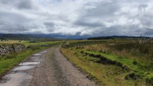
The track itself is probably 4-5 kilometres long, and the return leg is back the way you came. This means you can walk as much or little as you like. Just bear in mind you have to cover the same distance to get back to the car.
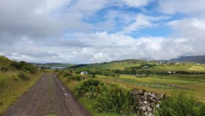
Things of note on the Skeabost Cemetery Track
As you come back down the track to the car park keep your eyes open for a small plaque and inscription on the left hand side. You will see water flowing from underground and a slight boggy area. Just behind this is a small plaque – Tobar Iain Bhan. This marks the location of the well used by the family of the Gaelic poetress Mairi Mhòr MacPherson. She is more famously known as Mairi Mhòr nan Òran.
Mairi’s name translates as Mary of the Big Songs and she wrote about the Highland Clearances and the land struggles of the 19th Century Scottish Highlands. Her family were from nearby Skeabost, although she spent a lot of her adult life in Inverness. Head of the family John was known as fair haired John, Iain Bhain in Gaelic, hence the name on the plaque. The Well of Fair Haired John – Tobar = Well, Iain = John, Bhan = Fair Haired. If you would like to read more about her, local writer Liz MaCrae Shaw has written a book “Love And Music Will Endure” which tells her story.
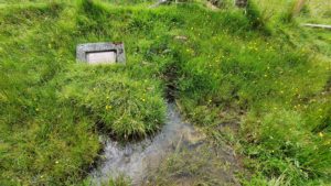
Just on the skyline to the right of the plaque you will see a rocky outcrop. Fairly circular in shape but now quite grassy. This is said to be the site of an Iron Age Broch known as Dun a Cheitechin. Details of the existence of the broch are a little vague and few remains are now visible, but it does have a listing on Canmore.
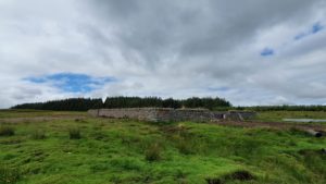
The Skeabost Cemetery Track from the Struan Road
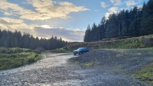
If you follow the Struan Road out of Portree for approximately 4 miles towards Struan/Dunvegan you will come to a parking area on the right hand side. Once you have gone downhill, over the River Snizort and up the hill on the other side it is behind some banked earth on the right. There is plenty of parking here to the left. To the right is the metal gate and pedestrian gate that is the start of the walk.
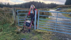
The surface through the gate is very rough and Sarah had to lift her rollator a few times in a battle with the jagged rocks. Once through the gate it was plain sailing. The track is a very well compacted gravel surface. Other than a few loose stones than caused a couple of blockages there is very little to report. Puddle free thanks to a gentle camber and plenty wide enough if you meet any other walkers.
A lovely spot to wander
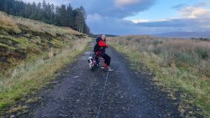
The track winds away into the distance following the tree line. Eventually it joins up with the other end which is where we originally started. It is most definitely a linear walk so remember to leave enough energy to get back to the car. Unlike the Skeabost end the Struan Road end is level from the car with no hills to speak of. There are beautiful views over the River Snizort and on the return the Cuillins tower on the distance. We walked until we caught a glimpse of a derelict croft house high above the river. We had a short breather and as the weather was closing in so we retraced our steps.
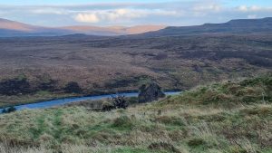

The area is fence in so you shouldn’t encounter any livestock. However deer do live in the forest here so be aware of this if you take dogs with you. They often run right across the track in front of you!
In true Skye for All style we felt like a post walk treat so headed into Portree. We were rewarded by coffee and cake in The Granary in Somerled Square.
